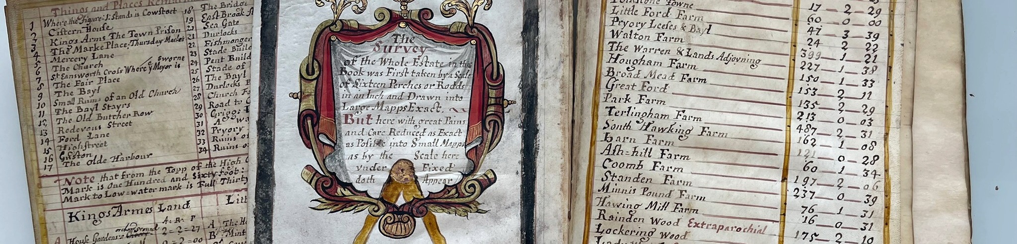
Folkestone has a long association with the Bouverie family and the Folkestone Estate. As landlords of the Folkestone Estate, the Earls of Radnor kept extensive estate records, now stored in the Archive collection based at the Wiltshire & Swindon History Centre and Kent history & library centre, Maidstone (accession number U270). Amongst this collection was discovered a unique Seventeenth Century Book of Maps drawn up for Jacob des Bovery Esq by the cartographer Abraham Walter in 1698 (View Map Page). Later commissions include John Powell’s Town Plan of Folkestone 1782, and the Folkestone Estate Survey 1798.
In a project under the auspices of the New Folkestone Society, the Wiltshire and Swindon Archive obtained funding to conserve and digitise the 1698 Book of Maps, as shown here Lord Radnor and New Folkestone Society – Wiltshire and Swindon History Centre
Future phases will bring the later maps to the fore, with interactive digital links to the index of local Folkestone places.